Pico Ruivo, the highest point on the island of Madeira, reachable on foot with views over the entire mountain range
The typical Madeiran thatched cottages, with straw roofs reaching down to the ground, a symbol of Santana's identity
The Laurissilva da Madeira, a forest of Tertiary origin and UNESCO World Heritage Site, covering the hillsides of the Municipality
Rocha do Navio, a nature reserve on the north coast, accessible by cable car and boasting a unique maritime landscape
about the place
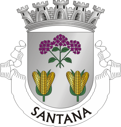
Santana occupies the northern flank of the island of Madeira, between the Atlantic coast and the heights of the central massif, where Pico Ruivo dominates the landscape. The Municipality grew up around a chapel dedicated to Santa Ana, the very origin of its name, and became a municipality in 1832. In 2001 it was elevated to city status. To the north, the valleys open abruptly to the sea; to the south, the mountain closes the horizon with laurisilva forests that are a World Heritage Site.